Sky Captures delivers high‑accuracy Matterport 3D scanning and Laser Scanning (LiDAR) services to create detailed, measurable digital representations of buildings, spaces, and structures. These services support construction, refurbishment, facilities management, real estate, and architectural documentation.
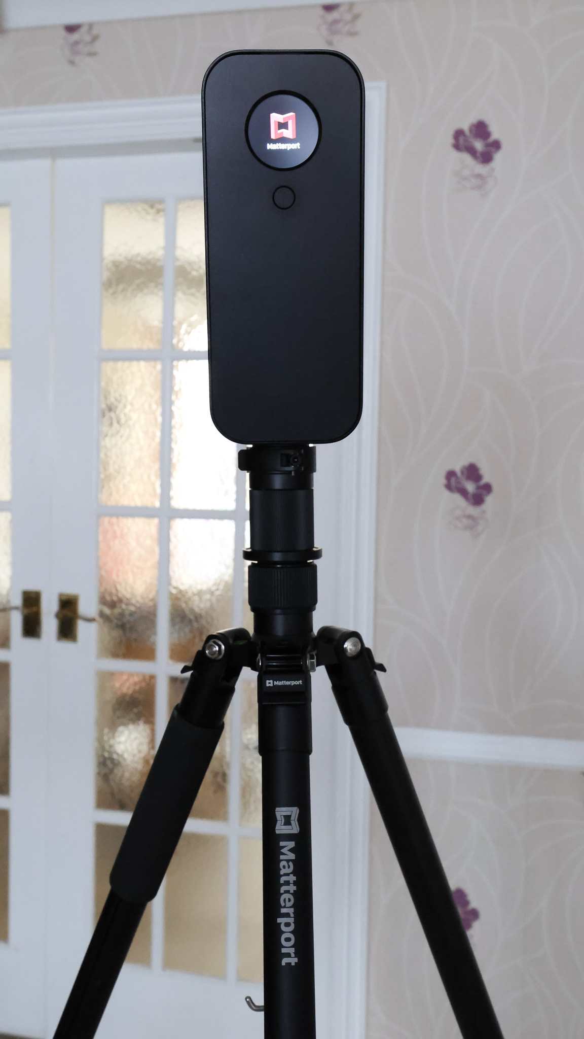
Matterport 3D Scanning
Our Matterport service provides a fully immersive, interactive digital twin of your space. This includes:
Full 3D walkthrough tours for remote viewing and client engagement
Accurate digital measurements for planning and verification
High‑quality panoramic imagery of interiors and key spaces
MatterPak assets (OBJ, point cloud, floor plans) for design and documentation
Ideal for real estate, marketing, FM, and pre‑construction surveys
Matterport gives clients a clear, visual understanding of a space — accessible online from any device.
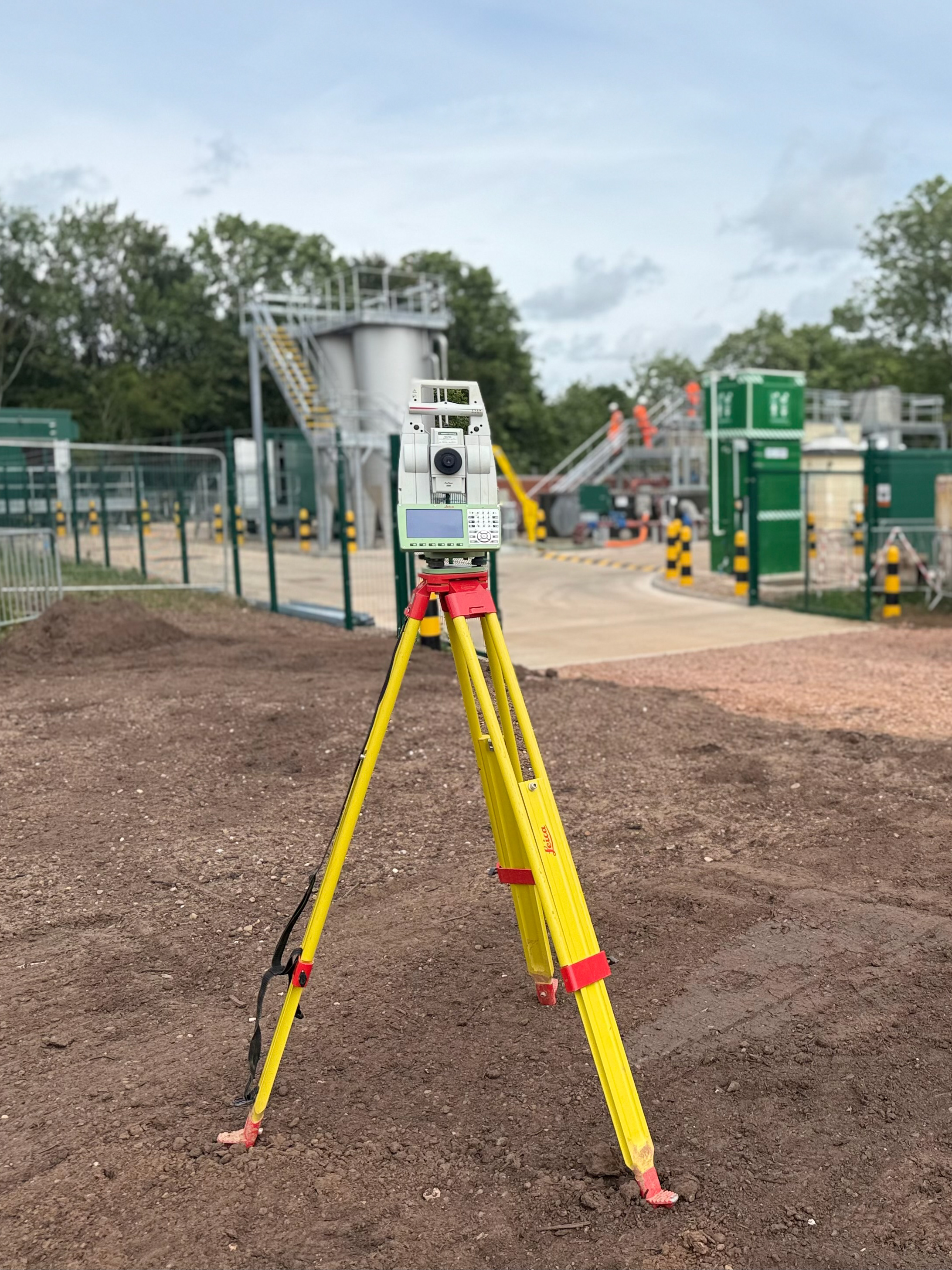
Laser Scanning (LiDAR)
Our terrestrial laser scanning service captures millimetre‑accurate point clouds for technical and engineering use. This includes:
High‑density LiDAR scans of internal and external environments
Registered point clouds (E57, PTS, RCP) ready for CAD/BIM workflows
As‑built verification against design models and drawings
Plans, sections, elevations, and 3D BIM models produced from verified data
Perfect for refurbishments, design coordination, clash detection, and asset documentation
Laser scanning ensures you have reliable, precise data for decision‑making, design, and construction.