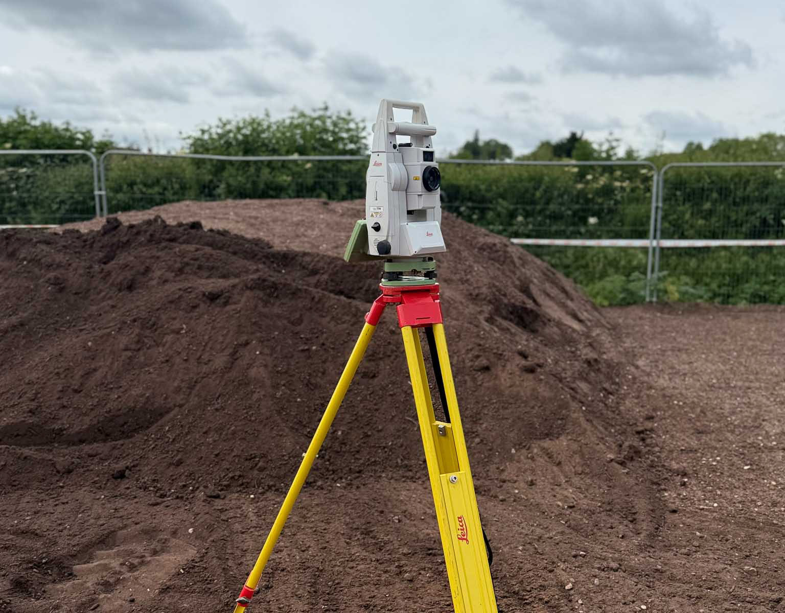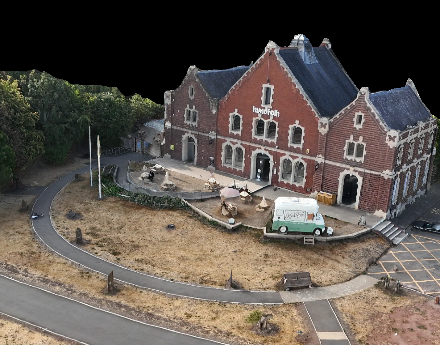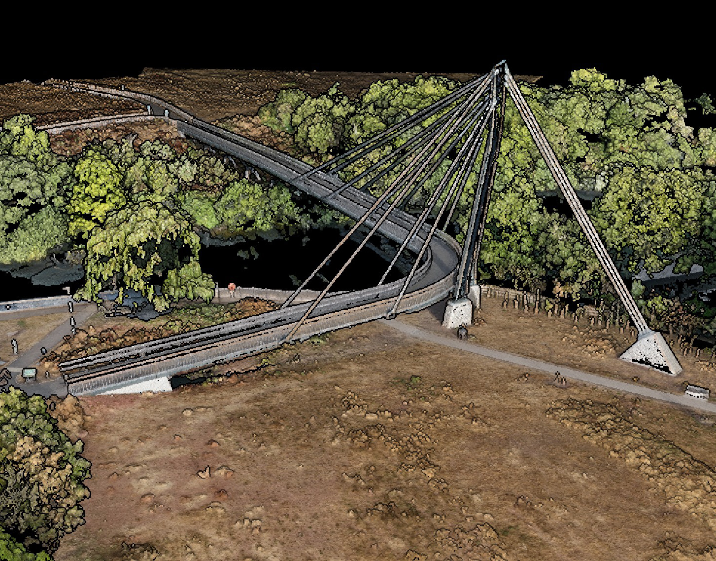
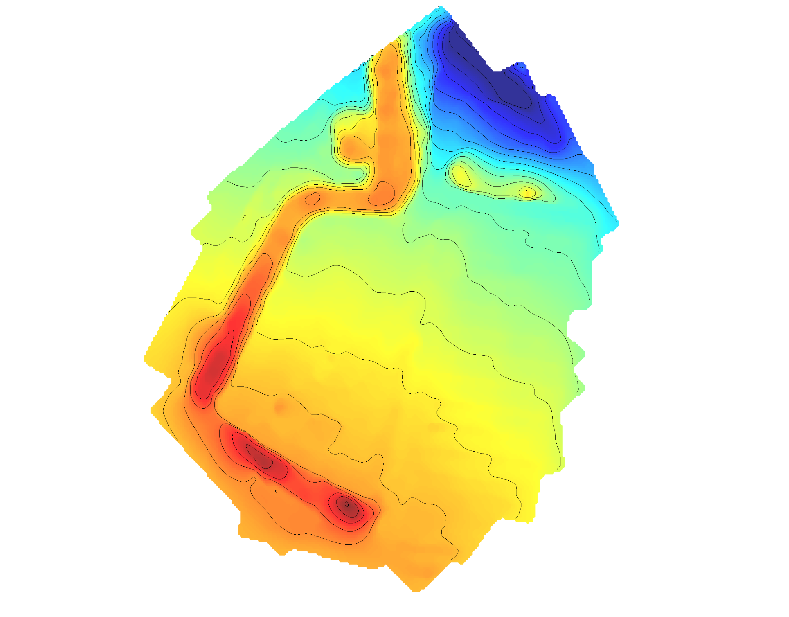
From the airspace down to the buried assets—we eliminate site risk in a single deployment. We integrate drone LiDAR and high-resolution photogrammetry with precision subsurface GPR, Total Station setting out, and GPS survey grids to deliver a seamless, high-accuracy digital twin of your project.Stop coordinating multiple subcontractors. Get absolute above-and-below-ground certainty from a single mobilized source—personally executed and verified by a ProQual Level 3 certified geospatial director.